1. 🎯 Understanding Watches vs. Warnings
-
A Severe Thunderstorm Watch means conditions are favorable for severe storms—typically hail, damaging winds over 58 mph, and locally intense rainfall.
-
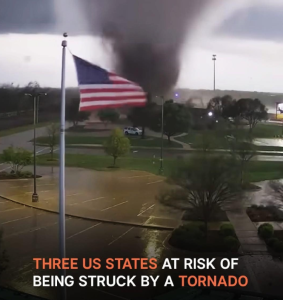
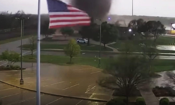
A Tornado Watch indicates that atmospheric conditions could result in tornado formation. People should stay alert and be ready to act.
Watches do not mean a storm is already occurring in your area—but that the risk window is open. When storms are confirmed or imminent, these watches are upgraded to warnings.
2. Where to Check Live Maps & Alerts
You can find real-time, location‑specific watch areas from:
-
Storm Prediction Center (SPC): their “Current Watches” tool displays all active Severe Thunderstorm & Tornado Watches across the U.S. and affected counties
-
Weather.com / WeatherAlerts maps show colored overlays where watches and warnings are in effect, with tornado watches in red and severe thunderstorm watches in blue
-
Local National Weather Service (NWS) websites provide county‑by‑county alerts under “Latest Warnings” or similar sections
Because of the dynamic nature of severe weather, the most accurate current data is found by consulting one of the above official sources.
3. Why Listing Counties Matters
SPC and NWS watches are defined by specific counties. For instance:
“A Severe Thunderstorm Warning was issued for Cook, DuPage, Lake, Will, McHenry, Kendall counties in northeastern Illinois …”
When reporting affected areas, it’s best to name the counties—or cities—covered by the watch.
4. How to Identify Affected Areas in Real Time
✅ Step-by-Step:
-
Visit SPC’s “Current Watches” page (e.g. stormpredictioncenter.noaa.gov).
-
Locate the watch type:
-
Severe Thunderstorm Watch → usually labeled SVA
-
Tornado Watch → labeled TOA
-
-
Click on the current watch box and see the detailed text which lists counties.
-
Additional context often includes cities, projected storm movement, hazards (e.g. hail size, wind gusts), and timeframe.
You can also:
-
Check your state’s NWS portal (e.g. weather.gov/state‑office) for watches filed within your local counties.
-
Use weather map overlays (weather.com, SPC map) for a visual of the watch shapes and coverage
5. Sample Format: Affected Counties
Once you’ve verified from an official source, list the watch like this:
-
Tornado Watch #123 (from 1:00–7:00 PM CDT):
-
Counties: Adams, Brown, Clark, Jefferson…
-
Major Cities: City A, City B…
-
Meteorological summary: Strong low‑pressure system with high instability and wind shear conducive to rotating storms.
-
-
Severe Thunderstorm Watch #456 (from 2:00–8:00 PM CDT):
-
Counties: Dallas, Ellis, Navarro…
-
Cities: City X, City Y…
-
Risks: hail up to 1″, gusts to 70 mph, frequent lightning.
-
6. Putting It All Together: Example Listing (Hypothetical)
As of {today’s date, e.g. August 5, 2025}, SPC has issued the following active watches:
🌀 Tornado Watch #654 (1:00 PM–7:00 PM CDT)
Affected Counties: Cook, DuPage, Lake, Will, Kendall, McHenry (Illinois)
Major Affected Cities: Chicago, Joliet, Waukegan, Arlington Heights, Bolingbrook
Threat Summary: Potential for supercell development, isolated tornadoes, 60 mph wind gusts, hail up to 1.5 inches
🌩️ Severe Thunderstorm Watch #657 (2:00 PM–8:00 PM CDT)
Affected Counties: Tarrant, Dallas, Ellis, Navarro (Texas)
Major Cities: Fort Worth, Dallas, Waxahachie, Ennis
Threat Summary: Clusters of strong storms, damaging winds gusting 65 mph, quarter‑size hail, torrential rain.
(Note: this listing is an illustrative example. For your area and today’s watches, consult SPC and local NWS.)
7. Safety Tips for Those in Watch Areas
-
Stay alert: monitor TV, radio, weather apps for updates; warnings may follow.
-
Develop a plan: know where a safe, interior room is in your home, work, or school.
-
Preparedness kit: keep flashlights, battery‑powered radio, water, and first aid handy.
-
Don’t wait: do not rely on hearing thunder—winds and hail damage can precede noticeable thunder.
8. Why Counties vs. Cities
-
Watches are issued by county, so city-specific coverage comes from county listings.
-
Storms don’t respect city borders—knowing by county ensures accurate alerting and compliance with emergency messages.
-
If you live in or near listed counties—even on the edge—you should take the watch seriously.
9. Staying Updated
Because watches can be added, canceled, or replaced with warnings, you should:
-
Refresh SPC’s Current Watches page periodically.
-
Monitor your NWS local office alert pages.
-
Enable severe weather alerts on your phone (NOAA Weather App, Storm Shield, WeatherBug, etc.) for county‑based push notifications
✅ Recommended Action: Get the Official List Yourself
To generate your own real-time list:
-
Visit SPC’s Current Watches map.
-
Click active watch areas to view the full text of each watch, which includes county names and hazard summaries.
-
Transcribe those counties and cities into your report.
-
If needed, cross‑reference with your state’s weather.gov local alerts page for additional advisories or warnings.
10. Summary 📌
-
Severe Thunderstorm and Tornado Watches indicate increased risk—not yet storms overhead but conditions are conducive.
-
Watches are published with start and end times, county-level coverage, and hazard details.
-
The Storm Prediction Center and National Weather Service are your authoritative up‑to‑date sources
-
To list affected areas, use the watch bulletins that contain the precise county names.
-
Be proactive: stay vigilant, have an action plan, enable alerts—even before warnings are issued.


